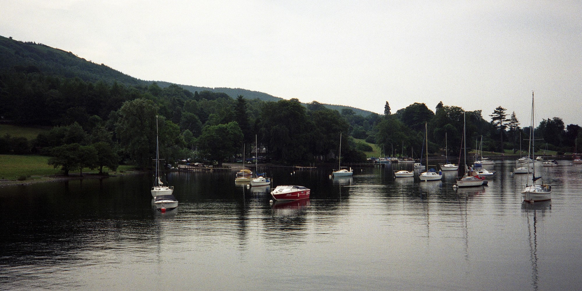
So: middle of last month, and my off-road marathon-running friend and I decided on a morning out, traipsing round the Dales near to Long Preston.
Now, I am not the fastest walker in the world, but I do enjoy it. And it was a chance to spend time with a chum and have a natter (when I had the breath to speak).
I thought it would be good to show the route we took – but of course, the technology is never that simple, is it? Firstly, I had to download Google Earth, as some of our trail was off-road. Mapped all the route out just fine, then thought I’d import it into Google Maps so that I could ‘finesse’ the route (yes, I can be a bit anal on such things).
Google Maps pulled the single route in as three different routes, all connected, all of different lengths. I know this because I was able to colour them differently. Now, you think that Google Earth and Google Maps would talk to each other, as it were, rather than doing this just to annoy the chuff out of me…
And what I can’t do is show exactly where on the route the picture above was taken (somewhere near the top, on the return leg).
But who knows, if we ever hit the trails again I might open up a whole new walks & maps section of this site.

